


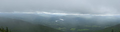
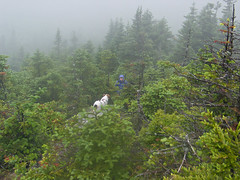
One of those days when a later or earlier start would have been better. This was taken on the descent after spending about 45 minutes on the summit waiting out (while eating lunch and messing with the camera) the fog/clouds zero visibility. There was a north wind and it was a bit cool. When we started it was 53F at the base at 1pm. On the summit my thermometer was giving me a 48F temp with wind, rain and some sleet. To give you an idea of how cold the north wind was, my hands were freezing, and I often don't wear gloves in the middle of winter while hiking when it is much colder ambiently. Typical northeastern US mountain weather. But for my money it was perfect July weather, and as good a day as any to be out hiking. Just no view for us.
Mt Hunger, is a smaller peak at 3500 feet, and part of the beautiful and ignored Worcester Range. Like all the smaller peaks it gets overlooked, but the views are great (when you're not in the clouds).
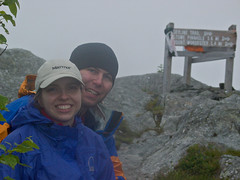
Beyond that it's a great hike on a fairly new and well built trail. It's also steep. 2000ft in under 2 miles. We logged 4600 feet gain and loss in about 4 miles of hiking (we went down the backside with brief thoughts of looping the white rock).
To give you an idea of how steep this trail is relative to a higher mountain, we actually gained and lost more elevation on little Mt Hunger than the people trotting up Mansfield via several different routes (vermonts highest peak and 800ft taller). And while we saw 15 people all day, on Mansfield we'd probably have seen over 100.
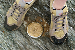
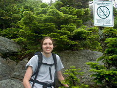
Some additional photos of our little trek up Mt Hunger:
Blogged with Flock


No comments:
Post a Comment